Field studies
The development of sustainable and responsible tourism on the slag heaps can only be achieved by taking into account all aspects of the sites, be they historical, landscape-related or biological.
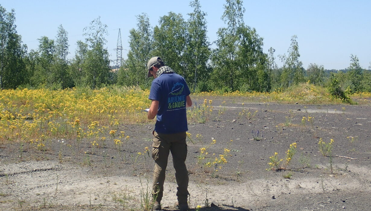
To this end, a standardised biological inventory methodology was developed and tested in previous cross-border slag heap projects. With the Destination Terrils project, this methodology was enriched by the addition of the “flora and habitats” category. Using this methodology, various species of birds, reptiles, amphibians, ladybirds, orthopterans and vascular plants, as well as the heritage habitats (plant formations) of the slag heaps were added to the inventory during the 4 field seasons. Using these inventories, a map of the biological vulnerabilities of the spoil heaps was drawn up for each site in order to help develop its use in an appropriate and respectful manner (particularly regarding visitor numbers and the planning of paths).
Naturalist at work © Marine Bonnet
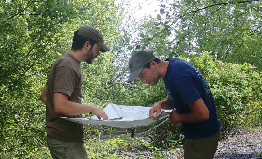
In addition to these biological inventories, a grid for analysing historical factors (slag heap formation, morphology, remains, etc.) and picturesque factors (preservation of summits, observation of noteworthy features of the landscape and neighbouring slag heaps from the hill, etc.) has been developed and integrated into field research. The infrastructure in place (information panels, paths, orientation tables, benches, interfering paths, etc.) was also recorded.
Additionally, a report of current uses was carried out through prospective surveys and consultation meetings with the relevant organisations (tourist offices, local authorities, sports clubs, associations, etc.).
It is worth adding that understanding visitor volume on the slag heaps means anticipating and monitoring current and future uses. It also entails proposing the necessary targeted services to best welcome visitors and how they will be provided.
In order to study the number of visitors to the sites, an automatic count was carried out using eco-counters to record the flow of visitors to certain emblematic sites in France and Wallonia. An additional in situ visual count was carried out, determining visitor categories and the number of visitors during a specific time frame. In the end, some sites were seen to be particularly popular: a survey was carried out at these sites. This survey asked visitors about their profile, their motivations and expectations, and their geographical origin.
All of this data was used to draw up welcome and accessibility plans for each of the sites, highlighting their points of historical interest and “soft” access methods, all while preserving each site’s rich biology.